The relevance of Geographic Information Systems, GIS, is constantly growing nowadays since they allow storing and processing of multiple formats. An equally significant aspect of interoperability with different GIS and the use of multi-criteria searches.
Why use geographic Information Systems (GIS)?
All the concepts of tables and primary key management facilitate even more the work of those who see GIS as a great tool for their professional and research work. Moreover, the popularity of Excel tables, used for data management for many years, has facilitated the migration of the data to Geographic Information Systems.
Another advantage of working with Geographic Information Systems is the fact of being able to import vectorial information. However, this is a good example of the use of Shape (SHP) which facilitates the work of CAD professionals allowing them to incorporate all the information that for many years has been developed in these systems; due to the massive use of AutoCAD.
Keyhole Markup Language (KML) is generated by tools like Google Earth and allows the incorporation of information from satellite images. Tools like
- Global Mapper facilitate the management of maps
- OpenStreetMap Point Cloud management module uses a scanner called Light Detection and Ranging (LIDAR)
- Coordinates captured with Global Position System GPS
- Raster as satellite photos, aerial photos, drone photos
- Information services from Web Map Service-WMS like Google Earth
- Map services such as GeoServer
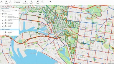
 In addition, there are many sources available that can feed the Geographic Information Systems that facilitate another great potential: multicriteria analysis. The multicriteria analysis enables a large volume of data that can become important information for professionals or researchers. Therefore, you can get patterns such as vehicle congestion, slopes of surfaces, currents, and epidemiological risks, and create mathematical modeling and interference buffer, among others.
The software to work with Geographic Information Systems (GIS)
Therefore, the GIS dynamizes the work between different disciplines, for example, civil engineering began with the analysis of simmer risks. The integration of different layers such as Triangular Irregular networks TIN models, Digital Elevation Model DEM, and planimetry for the calculation of earthworks. The planning of civil works holding ideal positions of sewers, forest areas, reserves, hydrology, and environmental management plan of the area ensures that the linear work will be optimal, in time, cost and impact.
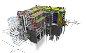
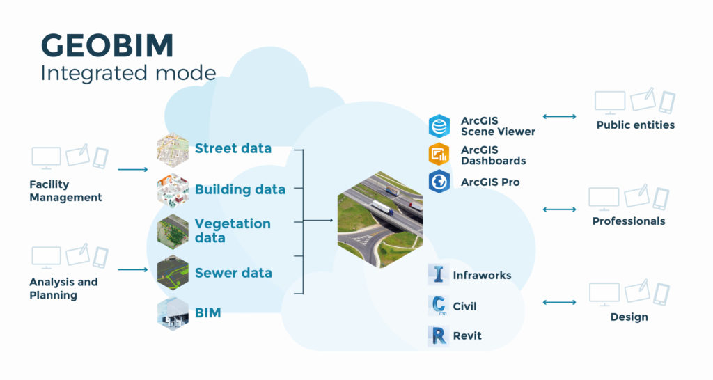
Considering that some of the most known software in the market allow working the Geographic Information Systems, there is Qgis, which is free, and Argis, which must be licensed. Likewise, digital models developed under the Building Information Modeling BIM methodology can be integrated into a GIS. This has resulted in a new line called GEOBIM, making reaching Smart Cities easier.
In conclusion, Geographic Information Systems, and GIS are very versatile and allow to enhance the soft skills of each professional, therefore they are a tool of vital importance that requires engineers from different disciplines, and adequate management of it.
Autor: Ferney Gutierrez, Master BIM en infraestructura y Sistemas de Información Geográfica (SIG).
This article was translated from spanish to english, to access the original version
click here