
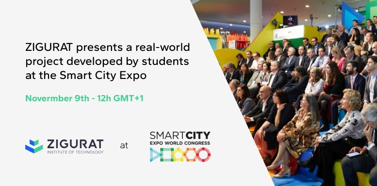
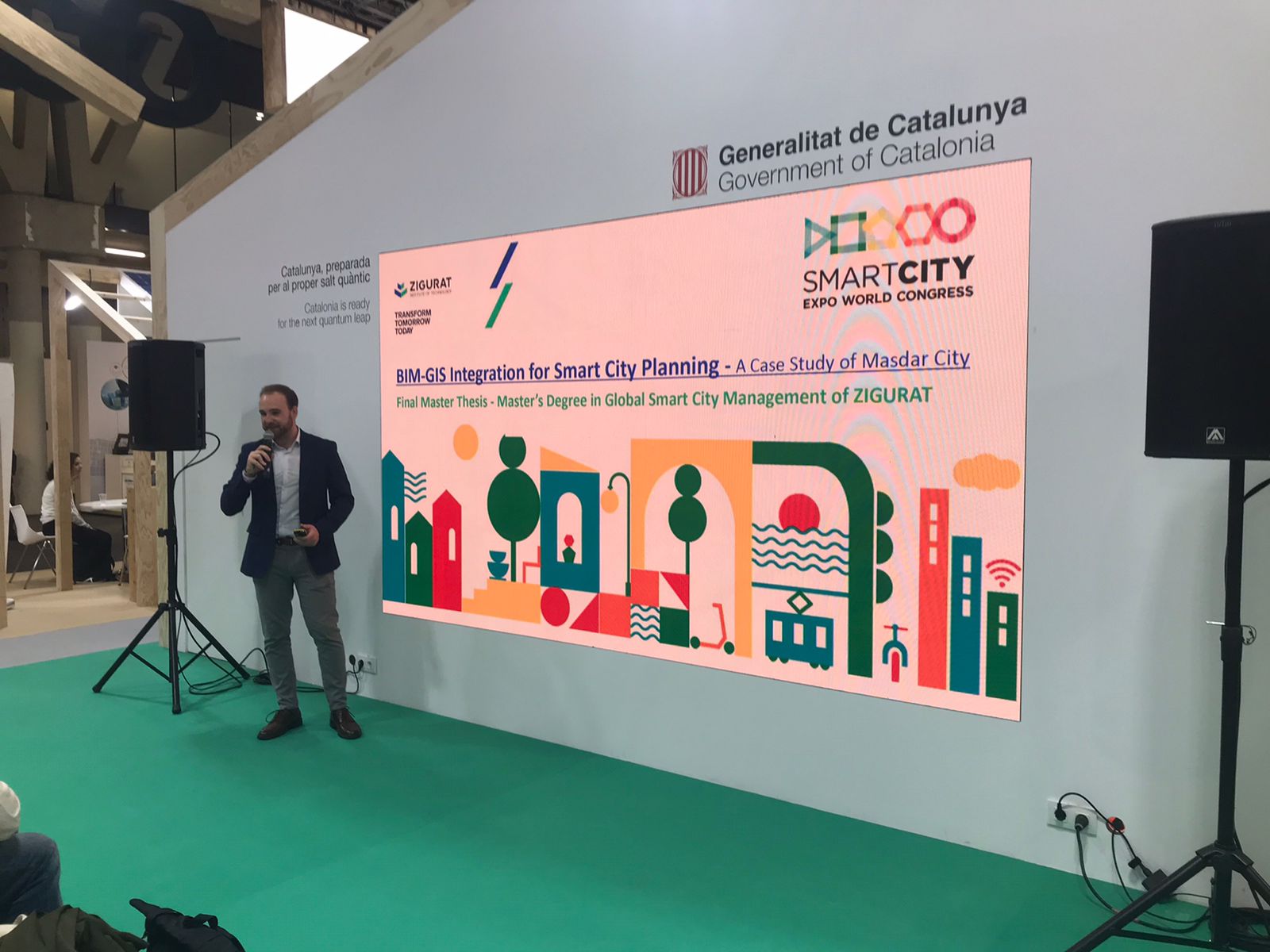
ZIGURAT presented a real-world project developed by students at the Smart City Expo
Categories
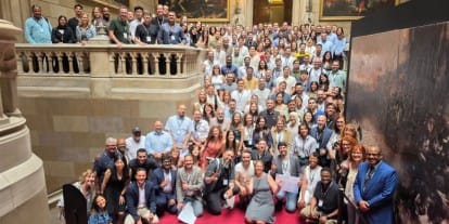
Smart City Expo World Congress is the world’s biggest and most influential event on urban innovation. It connect leaders from the most innovative companies, governments and organizations to move cities towards a better future.
Its mission is to empower cities and collectivise urban innovation across the globe.
ZIGURAT presented a real-world project developed by students
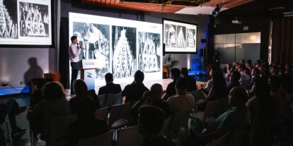
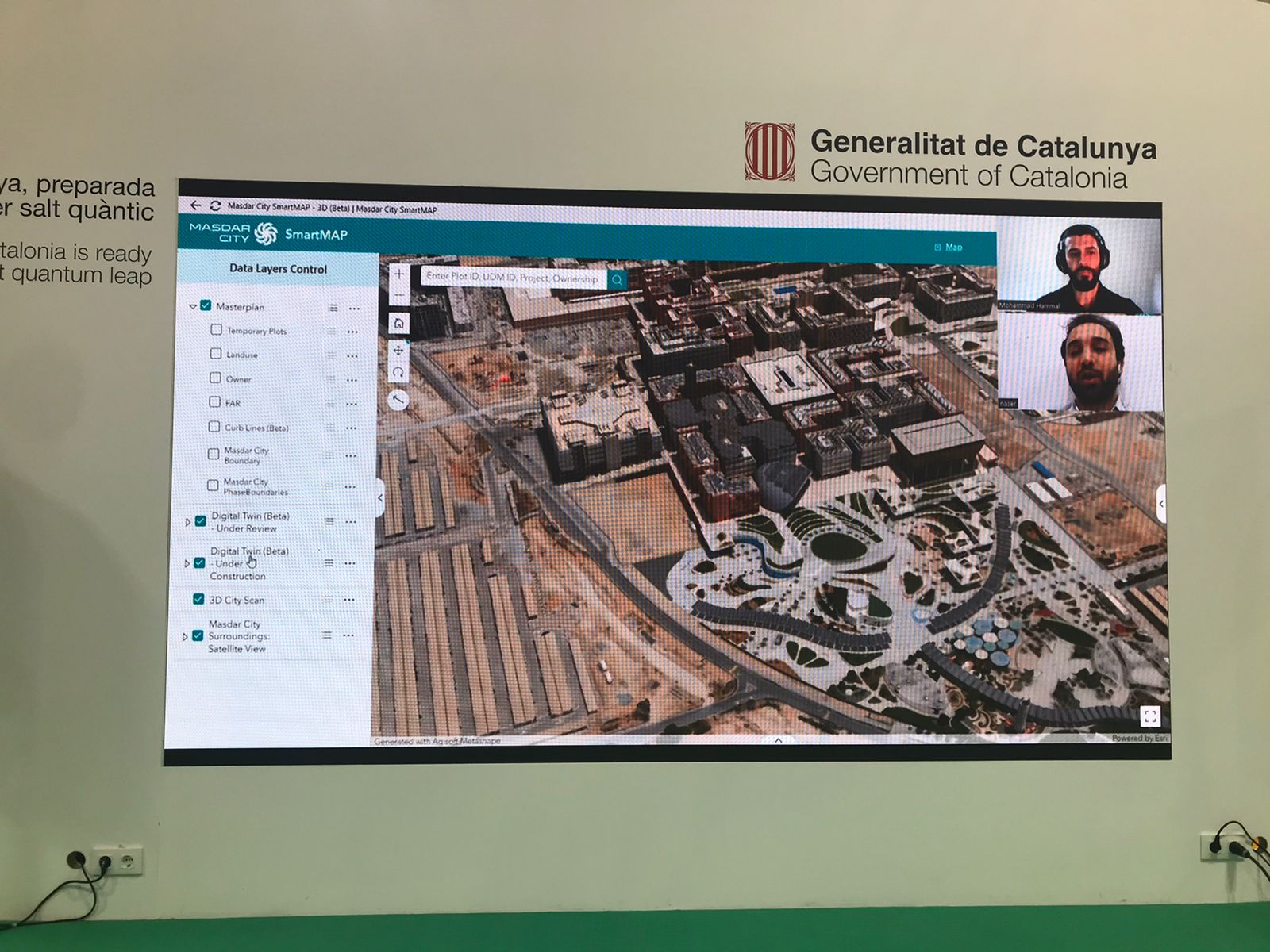
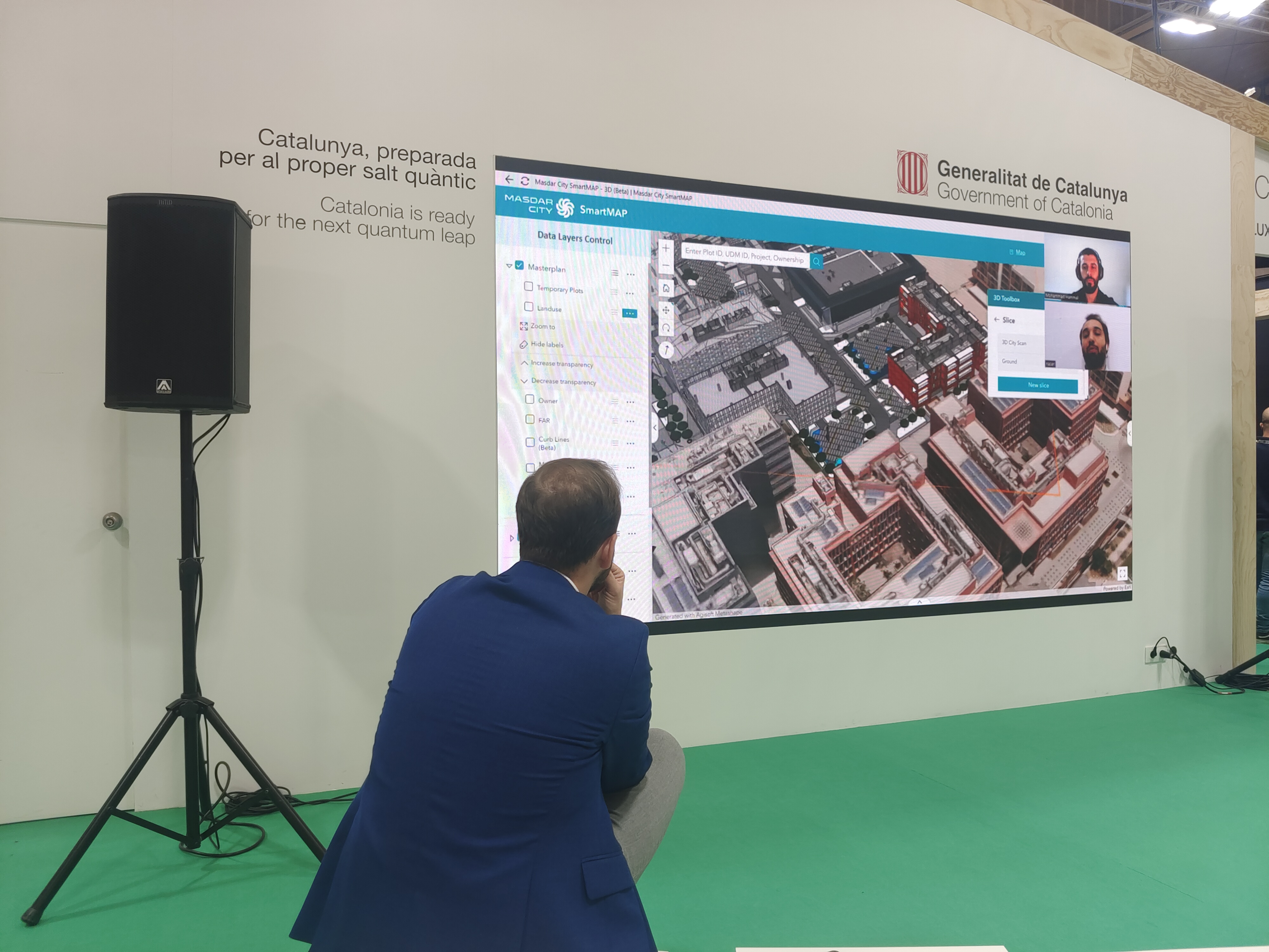
Guillermo Corral Comeras, Architect, Urban Planner & Smart City specialist, and professor of ZIGURAT's Master's in Global Smart City Management, gave a presentation during the event entitled "BIM-GIS Integration for Smart City Planning: A Case Study of Masdar City", where he showcased a project developed by Master's students:
- Mohammad Yahya Hammal, Senior BIM Expert at Masdar (Abu Dhabi Future Energy Company)
- Nasir Al Hasan Ahmed, GIS Manager at Masdar City
- Laith Mukatash, Intelligent Mobility Consultant at WSP
Masdar City, located in Abu Dhabi, is a sustainable urban development project with a strong emphasis on sustainability and renewable energy. Established in 2006, its goals include achieving zero-carbon and zero-waste status. The city incorporates renewable energy sources, such as solar power, and encourages sustainable transportation. It focuses on green building practices, houses the Masdar Institute of Science and Technology for research and innovation, and promotes economic development in the clean technology sector.
Despite some challenges, the project continues to evolve and expand, making it a symbol of innovative and environmentally conscious urban development. That's why it was picked as a case study for the implementation of BIM-GIS Integration .
In the context of smart cities, GIS-BIM integration can enable the planning and management of urban infrastructure and services.
-Guillermo Corral Comeras
BIM-GIS Integration for Smart City Planning: A Case Study of Masdar City
How can the integration of GIS and BIM contribute to smart urban planning in Masdar City, and what are the technical, socio-economic, and sustainable aspects that need to be considered for its successful implementation? This is the key question guiding the presentation.
Among other things, it covered:
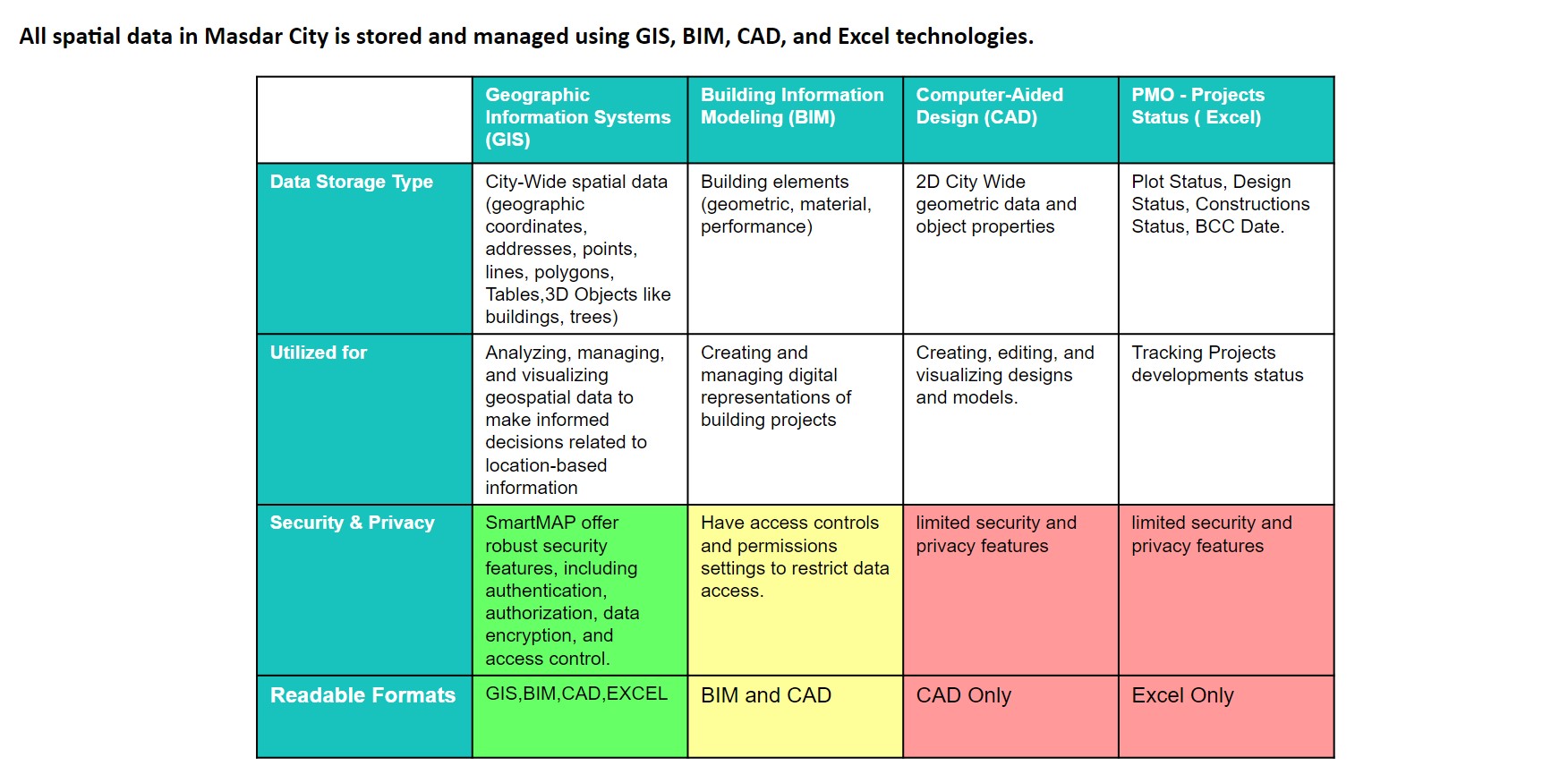
Smart Map: Integration Workflow
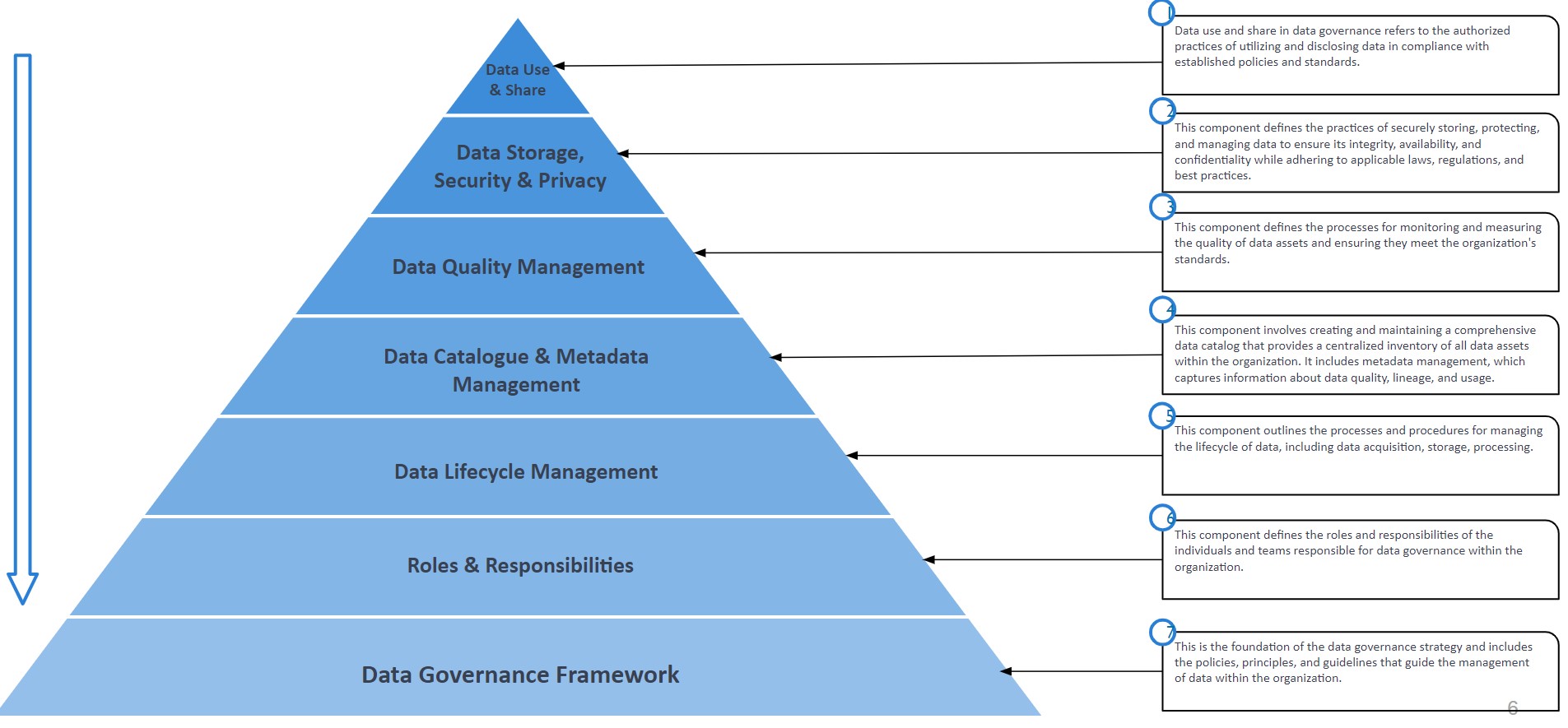
Data Governance Model
Data Use & Share
Data Storage, Security & Privacy
Data Quality Management
Spatial Data Catalogue
Data Lifecycle Management
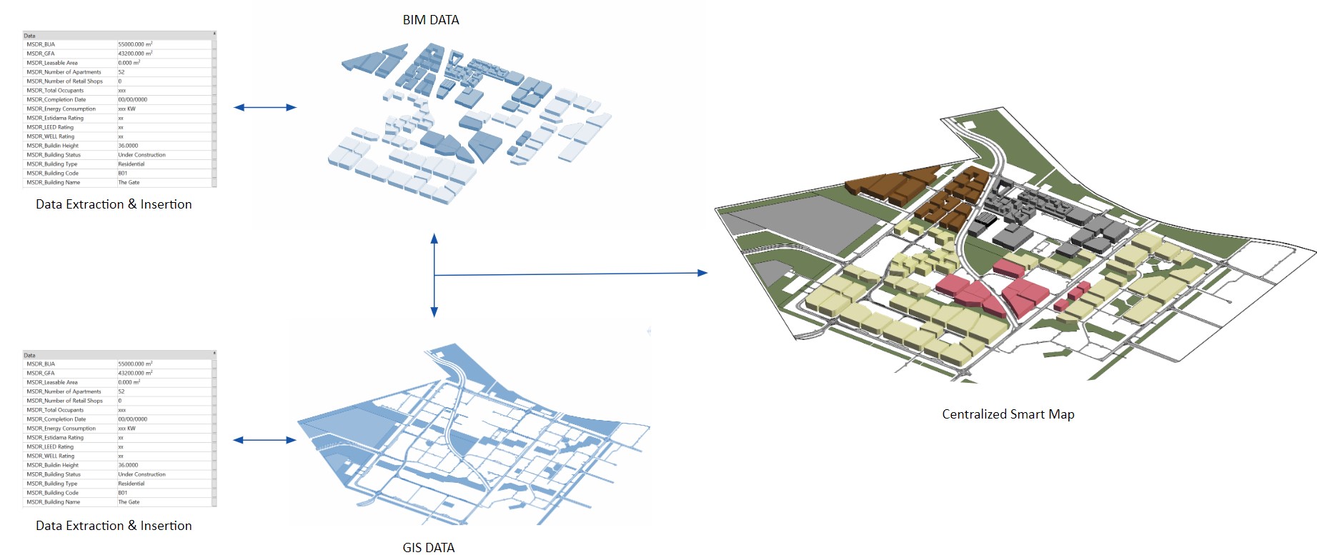
The presentation featured a detailed demo of the SmartMAP recorded by the students.
This project has developed a methodology which is replicable to any built environment, enabling its data-driven and evidence-based multidisciplinary management, from urban planning to architectural & engineering design and life-cycle management
-Guillermo Corral Comeras